Jasmin Lopez '23 considers a map while on a National Geographic Society internship.
Jasmin Lopez ’23 was an intern for the National Geographic Society this past summer and has very kindly answered some questions about the experience.
What did you get out of your internship (i.e., intangibles like meeting different people, the working environment)?
Over the summer I had the pleasure of being the GIS and mapping intern for the National Geographic Society (NGS). Working at NGS provided me with new and exciting GIS, cartography, and also general workplace experiences. On my very first day, I was welcomed by enthused individuals who expressed their eagerness to work came from the visible impact their work had. This enthusiasm did not falter throughout the summer, but was strengthened by the “intern’s energy.” This positive treatment of interns and each other, coming from a large organization, provided me with a glimpse into how I want my future workspace to function, which is to value everyone’s contribution and background. As students, we often look to find our dream job anywhere we can; however, the wonderful people I networked with stressed that interviews were our chance to look and see if the organization we are planning to work for fits our needs as much as we fit theirs.
What did you learn over the summer?
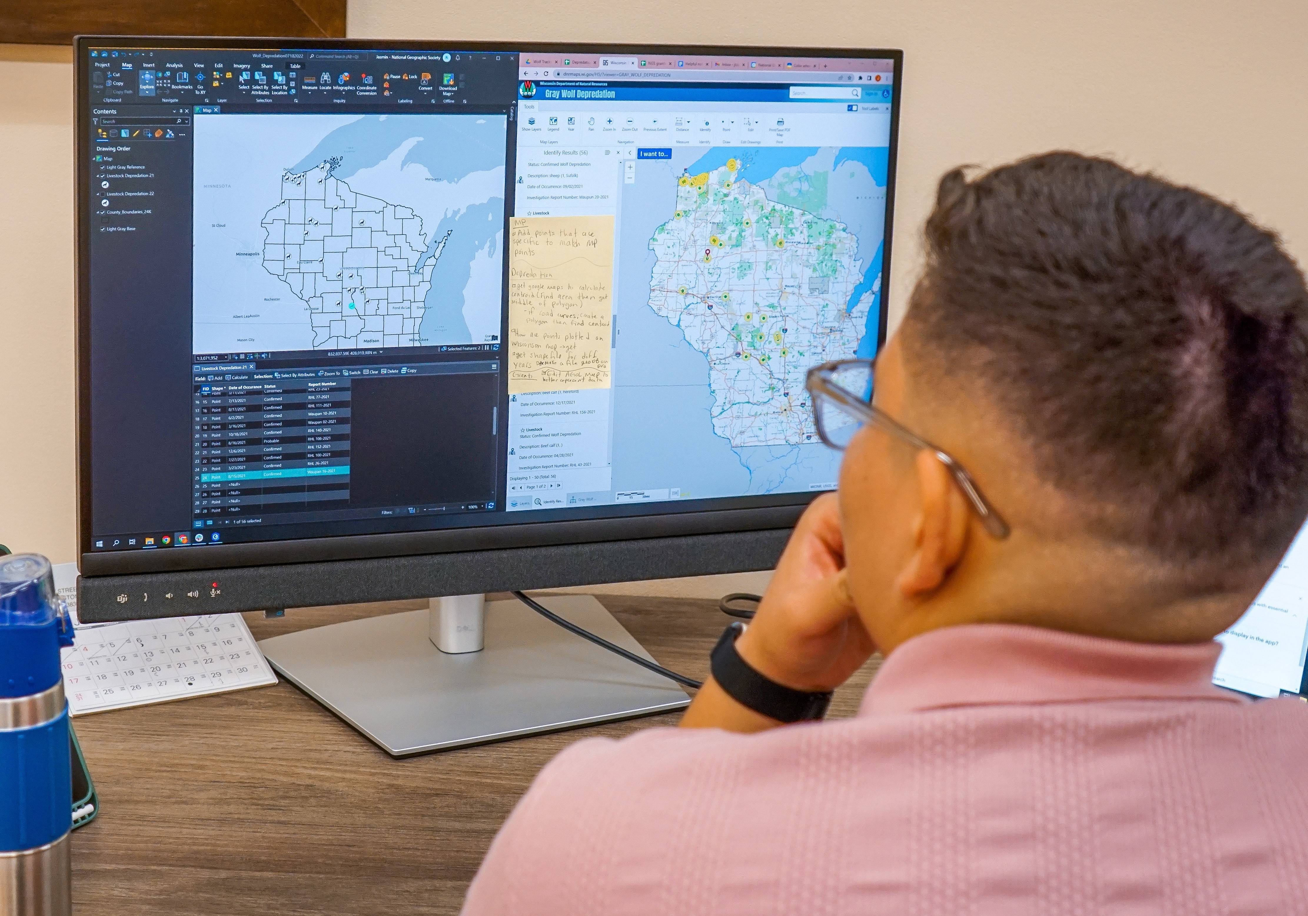
No days in the office were ever the same. I spent time learning how to use different applications in ESRI’s ArcGIS suite such as Dashboards, Survey123, QuickCapture, and others. I made example maps with each of the different applications so explorers — scholars around the world whose projects are funded by the society — in remote locations, such as the Amazonian rainforest, were appropriately guided to data collection methods. I also attended an official meeting where NGS cartographers and the mapping team met to edit a map, and they walked me through their editing process. This experience taught me that maps are not created in a week with a one or two-person team, but it is a long process involving many departments and changes over time. Meticulous editing occurs, from making sure the fonts on different features are the same to deciding which names will be shown for the features. This networking also expanded to meeting GIS specialists within ESRI, and they explained GIS tools I hadn’t heard of before, to use for a conservation project I was working on in collaboration with ESRI and the NGS mapping team.
Would you recommend that other Colgate students apply? Why?
While I applied to the NGS internship for my interest in GIS and mapping, I highly recommend anyone to apply due to the diverse amount of positions offered. The experiences and connections fostered over the summer are still present in my life, which is great to have with my undergraduate experience coming to a close.