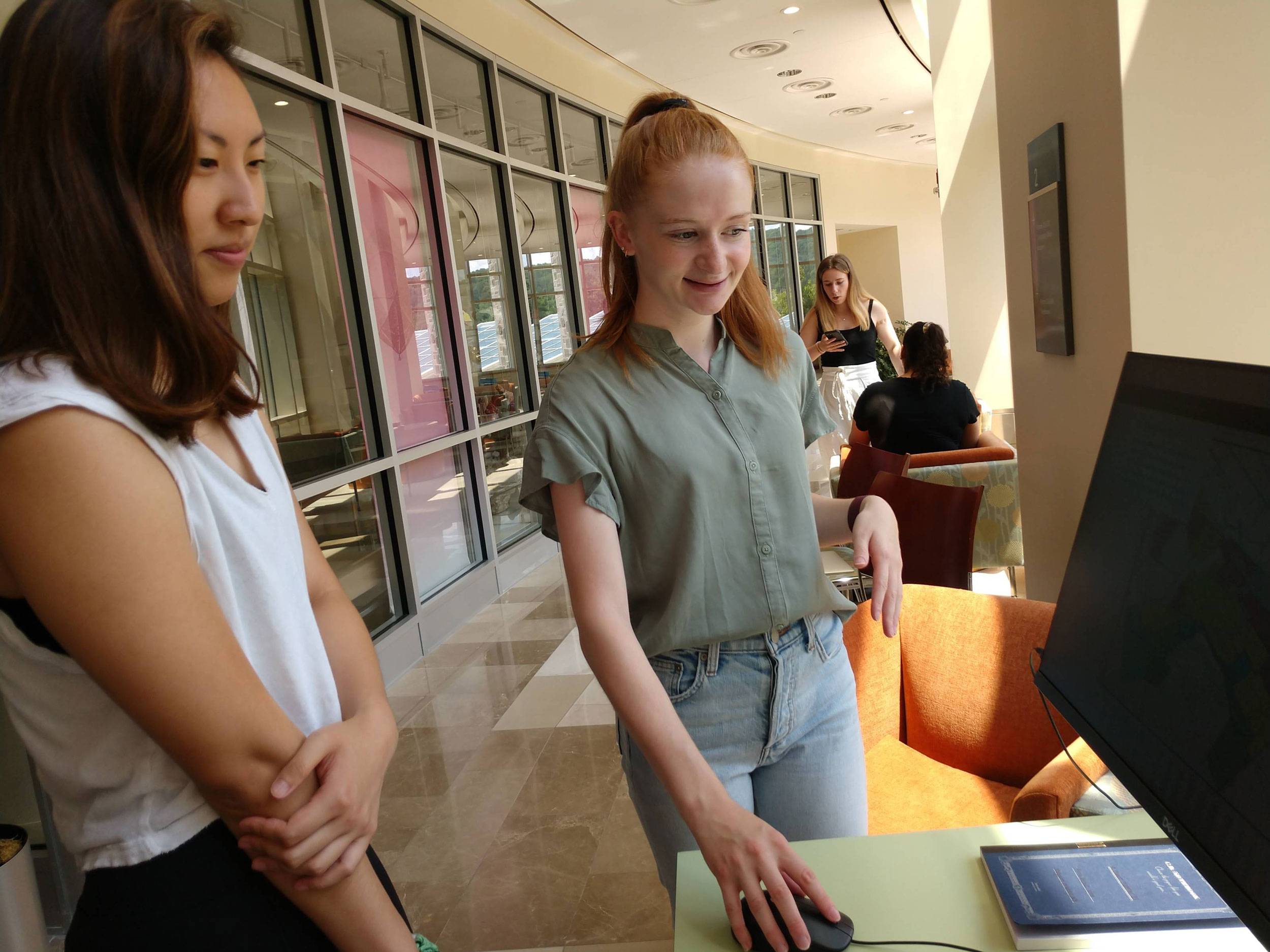
Anna Duerr (right) presents her research during the summer research poster session.
Food access is a critical area of study in both environmental studies and geography. Anna Duerr ’22 conducted independent research through the geography department with Professor Peter Klepeis and GIS Technician Myongsun Kong to map food access and inequality in nearby Utica, N.Y.
The inspiration for Duerr’s research came from a map published in 1936 by the Home Owners’ Loan Corporation. This map was called a security map and rated each area of Utica according to its investment potential. While areas were said to have been classified by looking at the quality and construction date of its infrastructure and housing, the race and ethnicity of area inhabitants played the biggest role in determining an area’s classification.